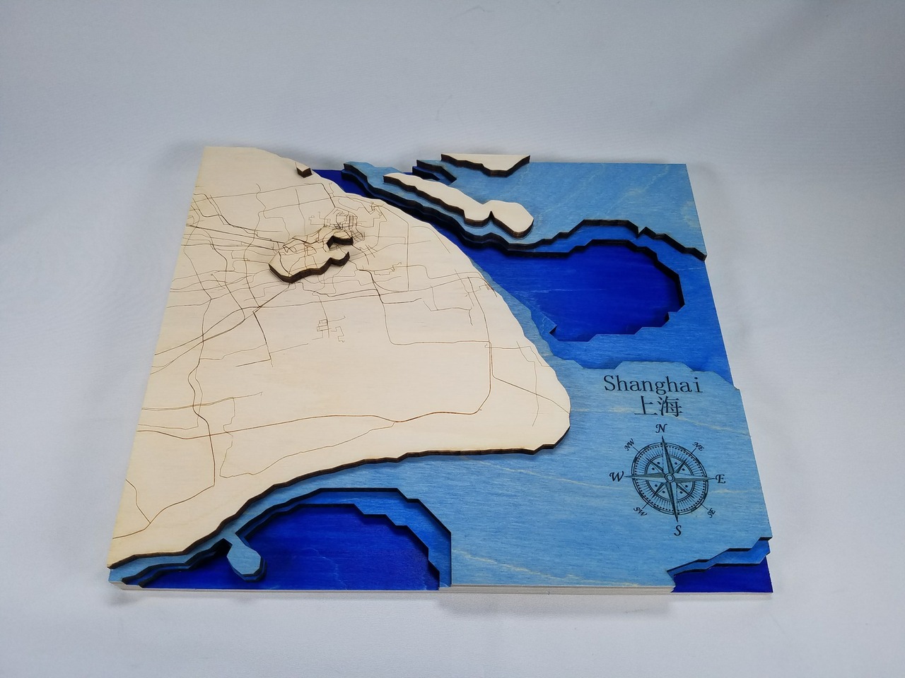
This was a Christmas gift for my mother that I made several years ago.
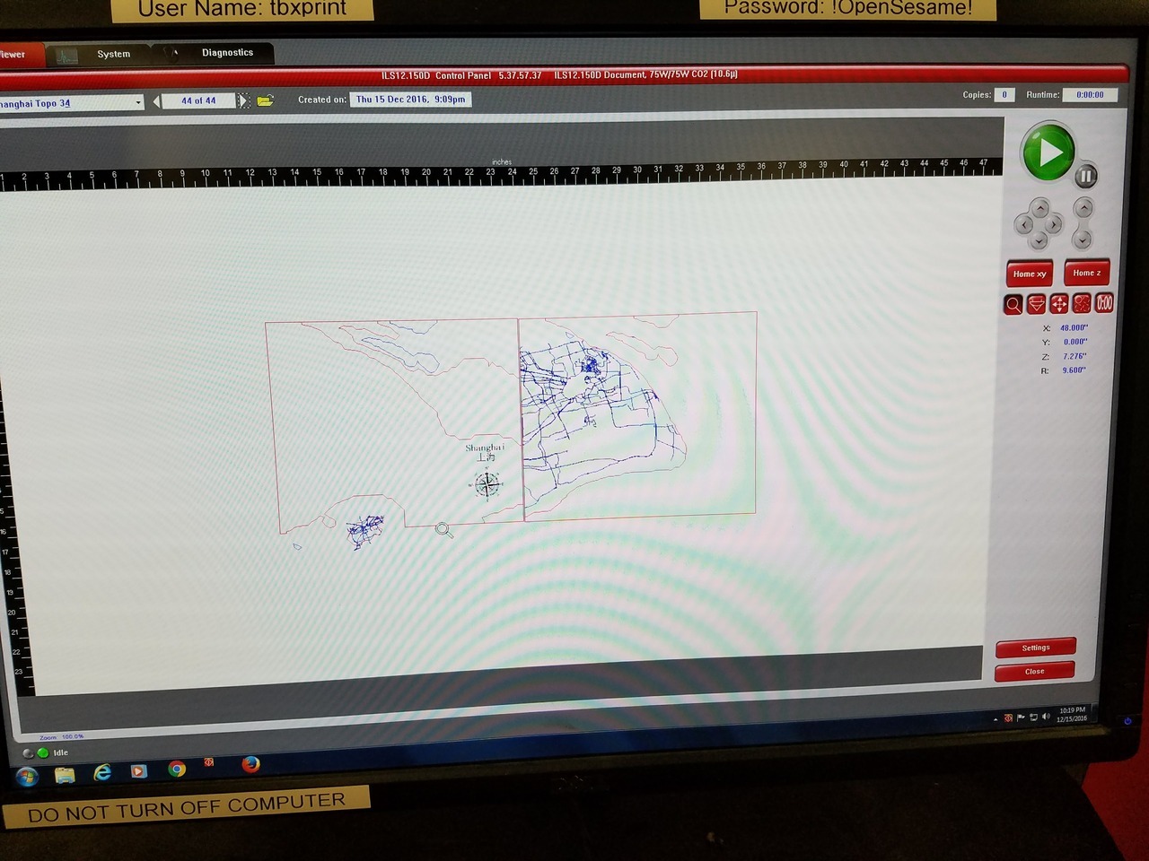
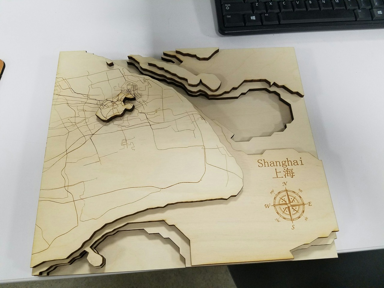
The design was generated using the Geographic Resources Analysis Support System Geographical Information System or GRASS GIS. GRASS GIS manages, analyzes, and processes geospatial data to provide the topographic contours and maps of public roads.
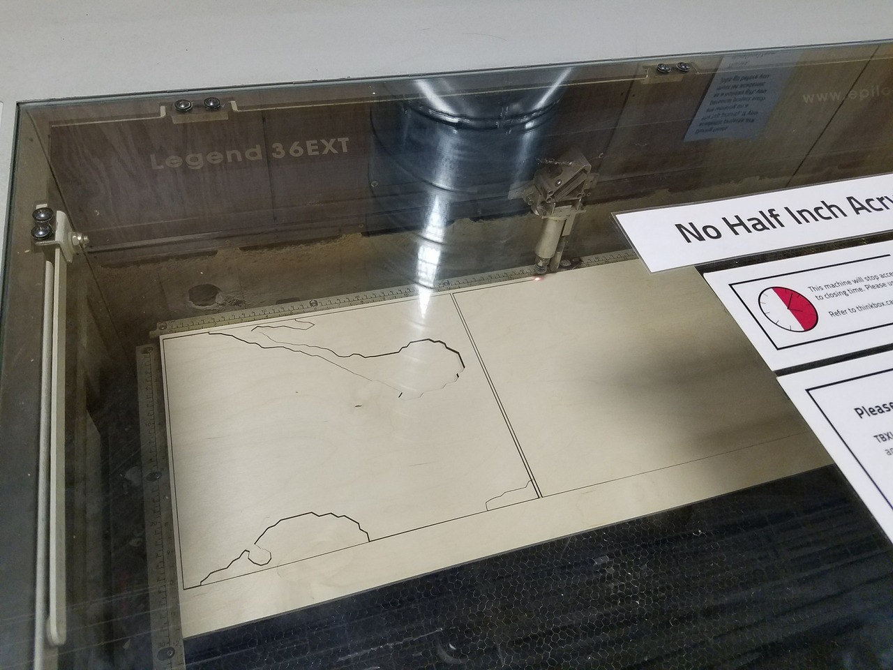
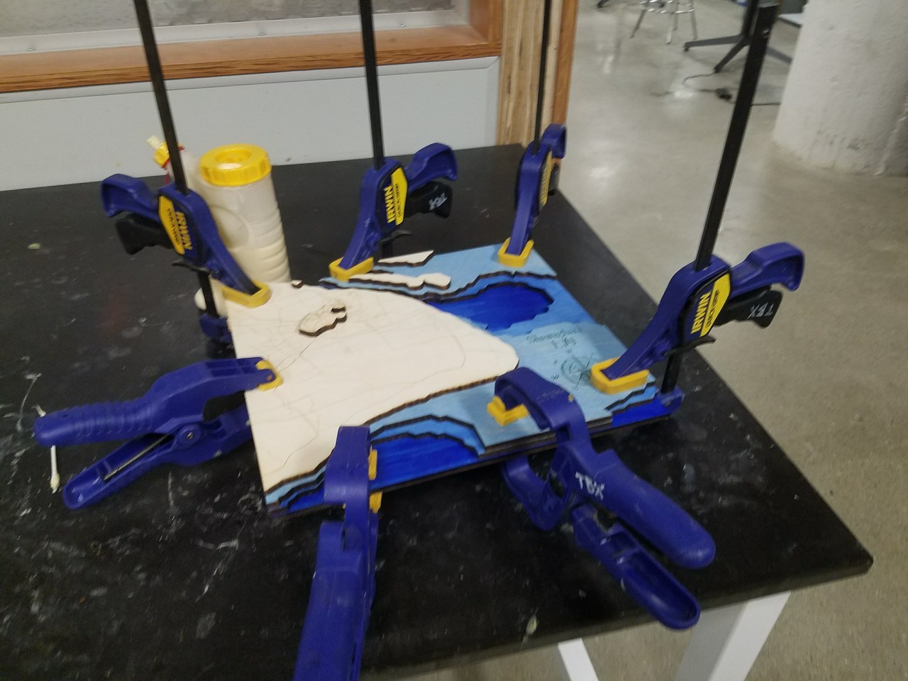
The map consisted of layers of 1/4" Birch Plywood that was laser cut, stained, and glued together at CWRU's think[box] makerspace.